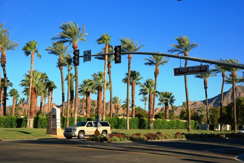
Palm trees and mountain light in Indian Wells

Outdoors

Biking and mountain biking near Indian Wells

Trails and recreation areas near Indian Wells open to biking and mountain biking.

8places to ride
13 mito the closest
5within 30 miles
November–Marchbest months

Good to know: Wilderness areas are closed to bikes; check each area’s trail rules and yield to hikers and horses.

Closest picks

1

Ribbonwood Equestrian Cg

13 mi southwest · USDA Forest Service

Ribbonwood is an ideal mountain escape for equestrian campers. The campground overlooks Palm Desert and the Salton Sea in southern California and provides visitors with access to hundreds of miles of terrain for exploration and enjoyment.
2

Fern Basin

25 mi west · USDA Forest Service

The picturesque Fern Basin Campground is a perfect escape from a busy lifestyle. It provides peace and quiet in the mountains of southern California as well as access to countless recreational opportunities.

3

Marion Mountain

25 mi west · USDA Forest Service

The Marion Mountain Campground offers a beautiful retreat in the San Bernardino National Forest. It provides access to a number of hiking trails that lead to some of the most spectacular views of Southern California.

Map of all 8 places

Map of 8 places loads as you scroll.

Within 30 miles (5)

13 mi southwest · USDA Forest Service · Campground

Ribbonwood Equestrian Cg

Ribbonwood is an ideal mountain escape for equestrian campers. The campground overlooks Palm Desert and the Salton Sea in southern California and provides visitors with access to hundreds of miles of terrain for exploration and enjoyment.

  • Camping
  • Fishing
  • Horse Camping
  • Horseback riding
  • Mountain Biking

25 mi west · USDA Forest Service · Campground

Fern Basin

The picturesque Fern Basin Campground is a perfect escape from a busy lifestyle. It provides peace and quiet in the mountains of southern California as well as access to countless recreational opportunities.

  • Camping
  • Fishing
  • Hiking
  • Horseback riding
  • Lookout Tower
  • Mountain Biking

25 mi west · USDA Forest Service · Campground

Marion Mountain

The Marion Mountain Campground offers a beautiful retreat in the San Bernardino National Forest. It provides access to a number of hiking trails that lead to some of the most spectacular views of Southern California.

  • Biking
  • Camping
  • Fire Lookouts/Cabins Overnight
  • Fishing
  • Hiking
  • Horseback riding

27 mi west · USDA Forest Service · Campground

Boulder Basin

Black Mountain Road is is poor condition at this time. A four-wheel drive (4WD) vehicle is recommended with a minimum ground clearance of 6 inches. Drive at your own risk.

  • Backpacking
  • Biking
  • Camping
  • Fishing
  • Hiking
  • Horseback riding
  • Mountain Biking
  • Picnicking

30 mi northeast · National Park Service

Joshua Tree National Park

Two distinct desert ecosystems, the Mojave and the Colorado, come together in Joshua Tree National Park. A fascinating variety of plants and animals make their homes in a land sculpted by strong winds and occasional torrents of rain.

  • Biking
  • Camping
  • Climbing
  • Hiking
  • Horse Camping
  • Horseback riding
  • Picnicking
  • Wildlife viewing

30 to 75 miles (3)

60 mi northwest · USDA Forest Service

San Bernardino National Forest

  • Biking
  • Camping
  • Climbing
  • Fishing
  • Hiking
  • Horse Camping
  • Horseback riding
  • Hunting

61 mi northwest · Bureau of Land Management

Johnson Valley OHV Area

Click here for the latest information concerning upcoming military training and closures of the Shared Use Area. Overview Johnson Valley is a varied landscape for the off-highway vehicle driver.

  • Biking
  • Camping
  • Hiking
  • Horseback riding
  • Hunting
  • Photography
  • Recreational Vehicles
  • Wildlife viewing

64 mi south · USDA Forest Service

Cleveland National Forest

  • Biking
  • Camping
  • Hiking
  • Horse Camping
  • Horseback riding
  • Off-highway vehicles
  • Picnicking
  • Ranger programs

Distances are straight-line miles from downtown Indian Wells. Listings come from Recreation.gov’s federal recreation database; check each official page for hours, fees, fire restrictions and closures before you go.

Get outside around Indian Wells

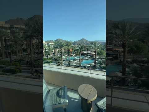
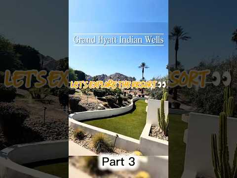
(Review)- Is this California’s BEST Desert Resort? 🌴 Grand Hyatt Indian Wells Room Tour video thumbnail

THINGS TO DO · YOUTUBE SHORT

(Review)- Is this California’s BEST Desert Resort? 🌴 Grand Hyatt Indian Wells Room Tour

A local activity Short shared by Nivan Stklare.

Watch on YouTube ↗

Around Indian Wells

Indian Wells, Riverside County, Ca
Indian Wells, Riverside County, CaArt Anderson · CC BY-SA 3.0
2013 Indian Wells Masters tennis court
2013 Indian Wells Masters tennis court - 002saimad · CC BY-SA 2.0

More outdoors near Indian Wells

Questions

Where is the closest place for biking near Indian Wells?

Ribbonwood Equestrian Cg (USDA Forest Service), about 13 miles southwest of Indian Wells as the crow flies. Next are Fern Basin (25 mi) and Marion Mountain (25 mi).

When is the best time for biking near Indian Wells?

Based on Indian Wells’s average highs, November–March. Conditions at higher elevations can be much cooler.

Who manages these places?

Federal agencies including USDA Forest Service, National Park Service, Bureau of Land Management. Each listing links to its official page for hours, fees, closures and current conditions.

Indian Wells AI

Your Indian Wells local guide
Hey there!

I'm Indian Wells AI. Ask about neighborhood food, independent shops, local history or planning a visit.

AI recommendations may be inaccurate. Verify hours and prices. Questions are processed by Cloudflare. Privacy